




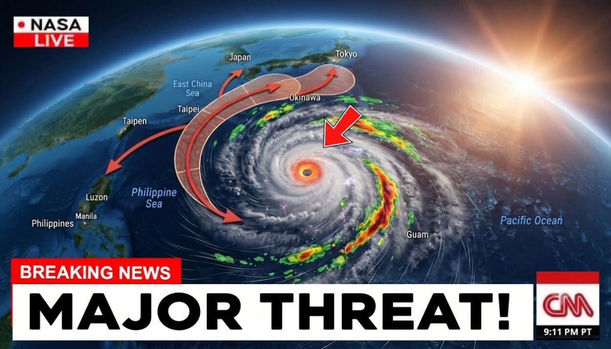

Super Typhoon Dolphin Gaining Strength
As the Pacific region braces for severe weather, Super Typhoon Dolphin has intensified, becoming one of the most powerful storms of the season. According to The New York Times, the storm is currently situated in the western Pacific and is expected to impact several islands in its path.
Current Status and Path
As of the latest reports, Super Typhoon Dolphin is classified as a Category 5 storm, with maximum sustained winds exceeding 160 mph. The storm is moving westward at a rapid pace, prompting warnings for coastal communities. Meteorologists are closely monitoring its trajectory, which could bring it dangerously close to populated areas.
Impacts on Local Communities
Residents in the vicinity of the storm’s path are urged to prepare for potential evacuations and stock up on essential supplies. The National Weather Service has issued alerts for heavy rainfall, strong winds, and the possibility of storm surges. Local authorities are on high alert, ready to respond to any emergencies.
Comparisons with Other Recent Storms
In a striking comparison, Hurricane Genevieve, which recently weakened, was also spinning in the Pacific at the same time as Super Typhoon Dolphin. While Genevieve has diminished in strength, Dolphin’s rapid intensification highlights the unpredictable nature of Pacific storms this season. The overlap of these two systems has raised concerns among meteorologists regarding the potential for compounded weather effects.
Preparedness and Safety Measures
Officials are emphasizing the importance of preparedness as Super Typhoon Dolphin approaches. Here are some recommended safety measures:
- Stay informed through local news and weather updates.
- Have an emergency kit ready, including food, water, and medical supplies.
- Follow evacuation orders promptly if issued by local authorities.
- Secure outdoor items that could become projectiles in high winds.
Community Resources
Local shelters are being prepared to accommodate those who may need to evacuate their homes. Community centers and schools are being designated as safe havens, with resources available for those affected by the storm. Residents are encouraged to check in with neighbors, especially the elderly or those with disabilities, to ensure everyone is prepared.
Long-Term Weather Patterns
The emergence of Super Typhoon Dolphin is part of a larger trend of increasing storm intensity in the Pacific. Climate scientists have noted that warmer ocean temperatures contribute to the formation of more powerful storms. This phenomenon raises questions about future weather patterns and the preparedness of coastal communities.
Expert Insights
Experts from AccuWeather have indicated that the current conditions in the Pacific are conducive to the development of severe storms. “The combination of warm sea surface temperatures and favorable atmospheric conditions has led to the rapid intensification of Super Typhoon Dolphin,” said a meteorologist from the agency. This insight underscores the need for ongoing monitoring and research into storm formation and behavior.
What’s Next for Super Typhoon Dolphin?
As Super Typhoon Dolphin continues its path across the Pacific, meteorologists are forecasting potential changes in its trajectory. The storm could weaken as it approaches land, but predictions remain uncertain. Residents are advised to stay vigilant and prepared for any eventualities. The situation is evolving, and updates will be provided as more information becomes available.
In the meantime, communities are coming together to support one another during this challenging time. Local organizations are mobilizing to provide aid and assistance to those in need, showcasing the resilience and solidarity of affected populations. As Super Typhoon Dolphin rages on, the focus remains on safety and preparedness for all impacted regions.
For more updates, check our latest news coverage.